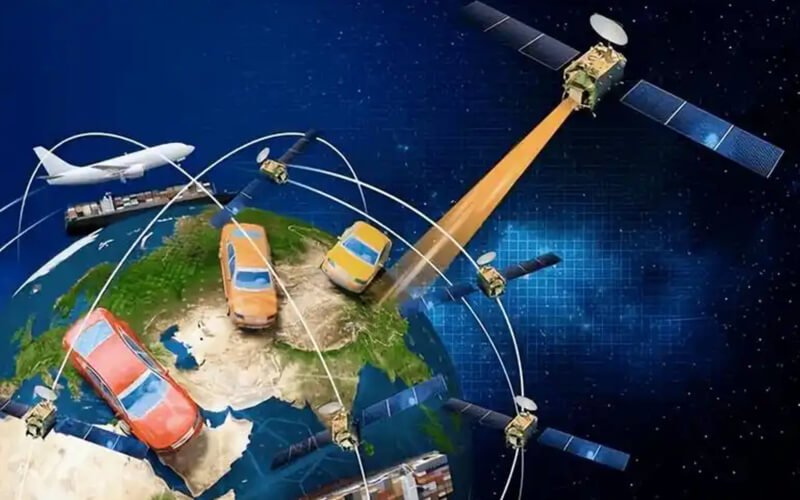
En el acelerado mundo actual, a menudo dependemos de nuestros teléfonos o automóviles para saber dónde estamos y cómo llegar a nuestro destino. ¿Te has preguntado alguna vez cómo estos dispositivos pueden determinar tu ubicación exacta, incluso en una ciudad desconocida o en una zona remota? La respuesta está en el GPS, una tecnología que se ha convertido en una parte invisible pero esencial de nuestra vida cotidiana. Pero, ¿qué es exactamente el GPS y cómo funciona?
GPS son las siglas de Sistema de Posicionamiento Global. Es un sistema de navegación por satélite que proporciona información precisa sobre la ubicación, la velocidad y la hora a los usuarios en cualquier lugar de la Tierra (o incluso cerca de ella), siempre que cuenten con un receptor GPS y una vista despejada del cielo. Desarrollado originalmente por el Departamento de Defensa de los Estados Unidos para uso militar en la década de 1970, el GPS se abrió posteriormente al uso civil en la década de 1980 y, desde entonces, ha revolucionado la forma en que nos orientamos, trabajamos y vivimos.
Para entender el GPS, primero debemos conocer sus tres componentes principales, que funcionan en perfecta sincronía para proporcionar datos precisos:
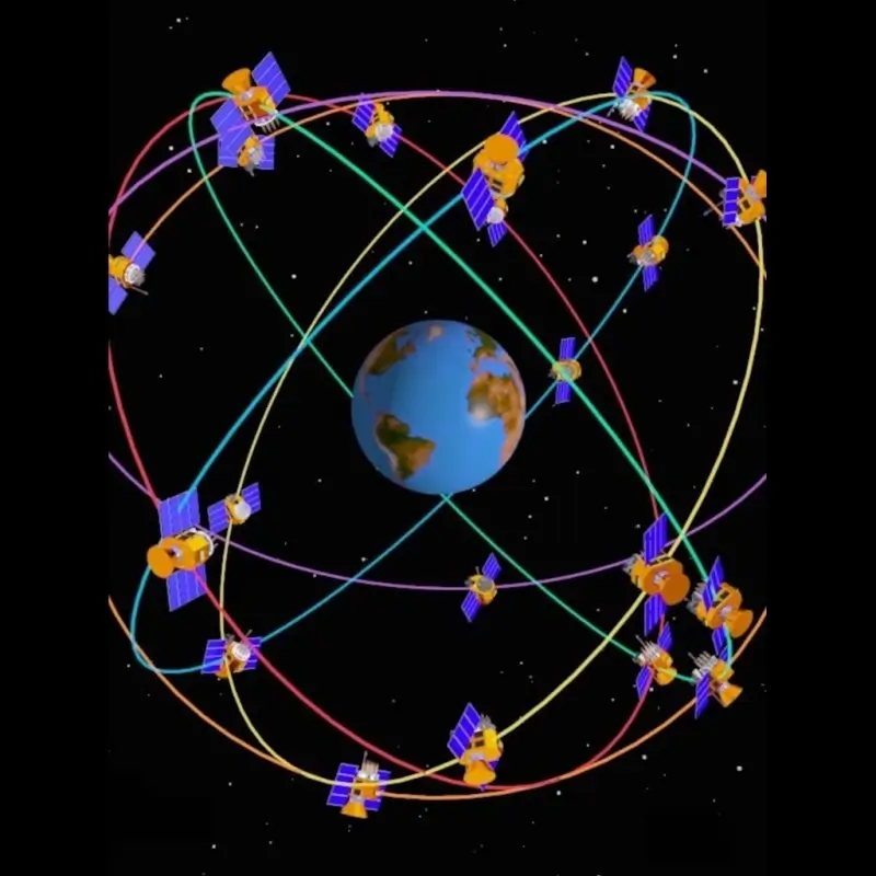
1. El segmento espacial
Esta es la red de satélites que orbitan alrededor de la Tierra. Actualmente, hay unos 30 satélites GPS operativos (además de algunos de reserva) que giran alrededor del planeta a una altitud de aproximadamente 20 200 kilómetros. Estos satélites orbitan la Tierra dos veces al día, lo que garantiza que, en todo momento, haya al menos cuatro satélites visibles desde cualquier punto del planeta. Cada satélite transmite continuamente señales que incluyen su propia posición y la hora exacta en que se envió la señal (utilizando un reloj atómico ultrapreciso).
2. El segmento de control
En tierra, una red de estaciones de control supervisa y mantiene los satélites GPS. Estas estaciones rastrean las órbitas de los satélites, corrigen cualquier pequeña desviación y actualizan los relojes internos y los datos de navegación de los satélites. Sin este segmento de control, las señales de los satélites perderían precisión con el tiempo, lo que haría que el GPS dejara de ser confiable. La estación de control principal se encuentra en Colorado Springs, EE. UU., y hay estaciones de monitoreo adicionales repartidas por todo el mundo.
3. El segmento de usuarios
Este es el receptor GPS que utilizas, como el de tu teléfono inteligente, el sistema de navegación del auto, el reloj inteligente o los rastreadores antirrobo que mencionamos anteriormente. La función del receptor es captar señales de al menos cuatro satélites GPS, calcular el tiempo que tardó cada señal en llegar hasta él y utilizar esa información para determinar su ubicación exacta mediante un proceso denominadotrilateración.
La trilateración puede parecer complicada, pero el principio es sencillo: cada satélite transmite una señal con su posición y la hora actual. El receptor mide el tiempo que tarda cada señal en llegar (ya que las ondas de radio viajan a una velocidad constante: la velocidad de la luz). La diferencia en el tiempo de llegada indica al receptor a qué distancia se encuentra de cada satélite. Al utilizar las distancias de cuatro satélites, el receptor puede determinar su ubicación en tres dimensiones: latitud, longitud y altitud.
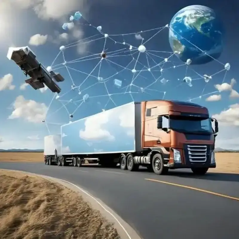
El GPS no sirve solo para navegar. Tiene innumerables usos prácticos en nuestra vida cotidiana y en diversos sectores. Por ejemplo:
- En el sector del transporte, las empresas de transporte por carretera utilizan el GPS para rastrear sus flotas y optimizar las rutas;
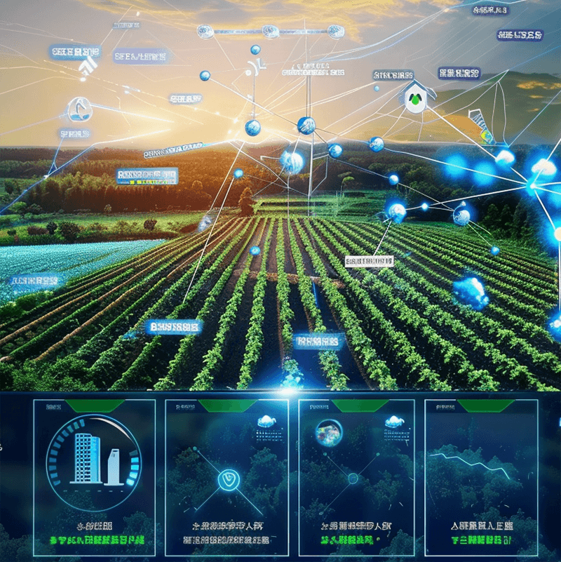
- En la agricultura, los agricultores lo utilizan para guiar los equipos de agricultura de precisión, lo que reduce el desperdicio y aumenta el rendimiento;
- En los servicios de emergencia, los equipos de rescate utilizan el GPS para localizar rápidamente a personas en situación de peligro, como excursionistas perdidos en la montaña o conductores involucrados en accidentes de tráfico.
- También se utiliza en el deporte (para registrar las rutas y la velocidad de los corredores), en la predicción meteorológica e incluso en nuestros dispositivos inteligentes para etiquetar fotos con información de ubicación.
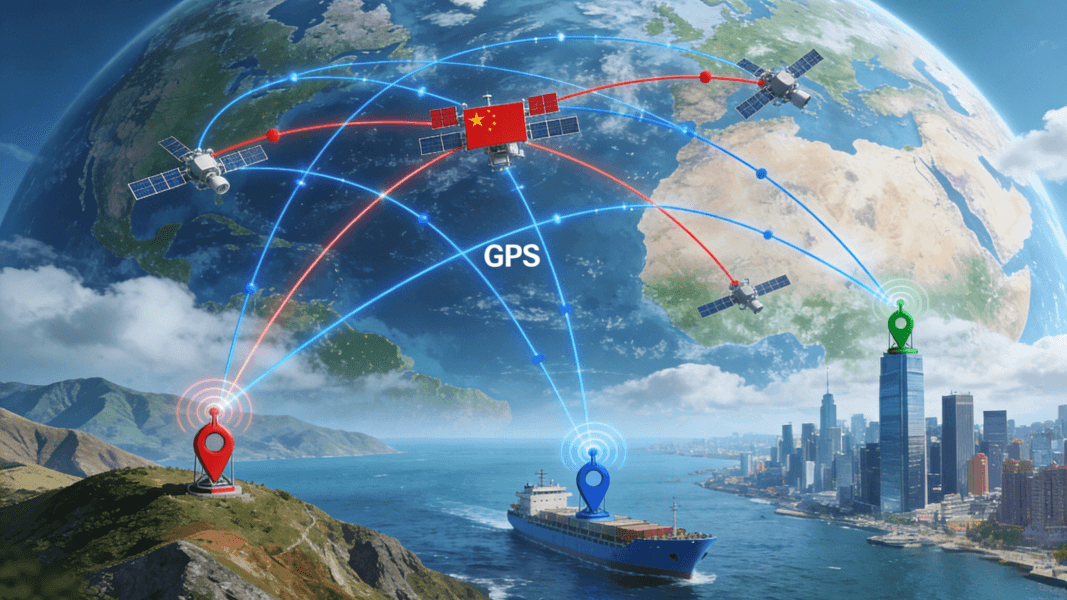
Una de las mejores cosas del GPS es que su uso es gratuito para los civiles. No es necesario pagar una cuota de suscripción para acceder a las señales del GPS; lo único que se necesita es un receptor compatible. Aunque el gobierno de EE. UU. opera el GPS, existen sistemas de navegación global similares desarrollados por otros países, como el GLONASS de Rusia, el Galileo de Europa y el BeiDou de China. Estos sistemas funcionan junto con el GPS para proporcionar una navegación aún más precisa y confiable, especialmente en áreas donde las señales del GPS pueden ser débiles.


En resumen, el GPS es un potente sistema basado en satélites que nos ayuda a orientarnos, rastrear objetos y acceder a datos precisos sobre la hora y la ubicación. Desde nuestros desplazamientos diarios hasta situaciones de emergencia en las que se salva vidas, se ha convertido en una herramienta indispensable que a menudo damos por sentada. La próxima vez que uses tu teléfono para buscar un restaurante o localizar un objeto perdido, recuerda: todo se lo debemos a la red invisible de satélites que se encuentra en lo alto de la Tierra, trabajando sin descanso para mantenernos conectados y en el camino correcto.